Rand McNally Road Atlas by Rand McNally
Product details
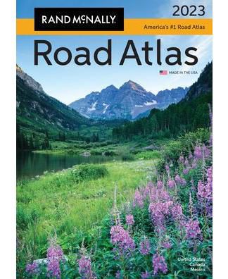
Web ID: 15843464The Rand McNally Road Atlas is the most trusted and best-selling atlas on the market. This updated 2023 edition contains maps of every U.S. state and Canadian province, an overview map of Mexico, and detailed inset maps of over 350 cities and 25 national parks. Road construction and conditions contact information for every state conveniently located above the maps. Contains mileage chart showing distances between 90 North American cities and national parks along with a driving times map. Other Features Rand McNally presents "The National Parks by Decade," a review of park history that begins more than a century ago, with the first wild and wonderful place to achieve park status - Yellowstone. Tell Rand! As much as we work to keep our atlases up to date, conditions change quickly and new construction projects begin frequently. If you know of something we haven't captured in our atlas, let us know at randmcnally.com/tellrand. Tourism websites and phone numbers for every U.S. state and Canadian province on map pages.
Product Features
- Suggested age range - Adult
- Format - Paperback
- Product dimensions - 10.7" W x 15.1" H x 0.6" D
- Genre - Travel
- Publisher - Rand McNally, Publication date - 05-11-2022
- Page count - 144
- ISBN - 9780528026331
Shipping & Returns
- This item qualifies for Free Shipping with minimum purchase! exclusions & details
- Our Normal Gift Boxing is not available for this item.
- California and Minnesota customers call 1-800-289-6229 for Free Shipping information.